Why do two estates of the same acreage sell at completely different prices
Two estates of the same acreage sell at different prices because acreage measures area, not what the area carries. Elevation, slope, planted extent, shade condition, standing timber, water, access, boundary and title all differ from estate to estate, and each one moves value on its own.
Those factors split into two groups, and the split matters more than the list itself. The first group is what the land is: elevation, the direction the slope faces, rainfall, soil. You inspect those, you accept them, and no amount of money changes them afterwards. The second group is what has been done to the land and to the paperwork: planted extent and plant condition, shade canopy, roads, fencing, water infrastructure, boundary upkeep, and whether the records agree with one another. That second group is the product of years of attention or years of none, and it is where two estates that look identical on a listing come apart.
The vocabulary makes this harder than it needs to be. Estate, plantation, farmland and raw land are used interchangeably by sellers who mean quite different things by them, and the word chosen often carries more weight in a listing than any of the drivers below. If the terms themselves are the sticking point, start with what the words estate, plantation and farmland actually mean on a listing.
The rest of this page takes the drivers in the order a buyer can actually check them, starting with the one nobody can change.
Table of Contents
How much does elevation actually matter
Elevation matters because it decides which coffee the land can carry properly. Arabica is grown at 1,000 to 1,500 m above mean sea level and robusta at lower altitudes of 500 to 1,000 m, so an estate planted against its elevation is planted against the land rather than with it.
The Coffee Board of India records the growing bands region by region. Coorg, or Kodagu, sits between 750 and 1,100 m above mean sea level with rainfall of 1,000 to 2,500 mm. Chikmagalur runs from 700 to 1,200 m, with rainfall anywhere from 1,000 to 4,500 mm depending on where in the district you stand. Manjarabad, the region covering Sakleshpur taluk, sits between 900 and 1,100 m with 1,000 to 2,500 mm of rain. The soil across these belts is described as deep, fertile, rich in organic matter, well drained and slightly acidic, at a pH of 6.0 to 6.5.
Regional profiling for Hassan district puts elevations generally between 800 and 1,200 m, lower on average than neighbouring Chikmagalur, with rainfall running from around 1,500 mm on the eastern margins to over 2,500 mm in the Sakleshpur belt. Arabica and robusta are grown there in close to equal share, with S795 arabica and CxR and S274 robusta among the common cultivars.
Read those bands against the estate in front of you. If a block of arabica sits well below its comfortable range, that is not automatically a reason to walk away, and it is not a defect the seller is hiding. It is a fact about the land that will still be true in twenty years, and it tells you something about whoever planted it. Land planted for what it is tends to have been looked after by someone paying attention. Land planted against what it is usually has a reason behind it, and the reason is worth asking about.
Elevation gives you the band the estate sits in. How the land sits inside that band is the next question, and almost nobody asks it.
Does the direction a slope faces change anything
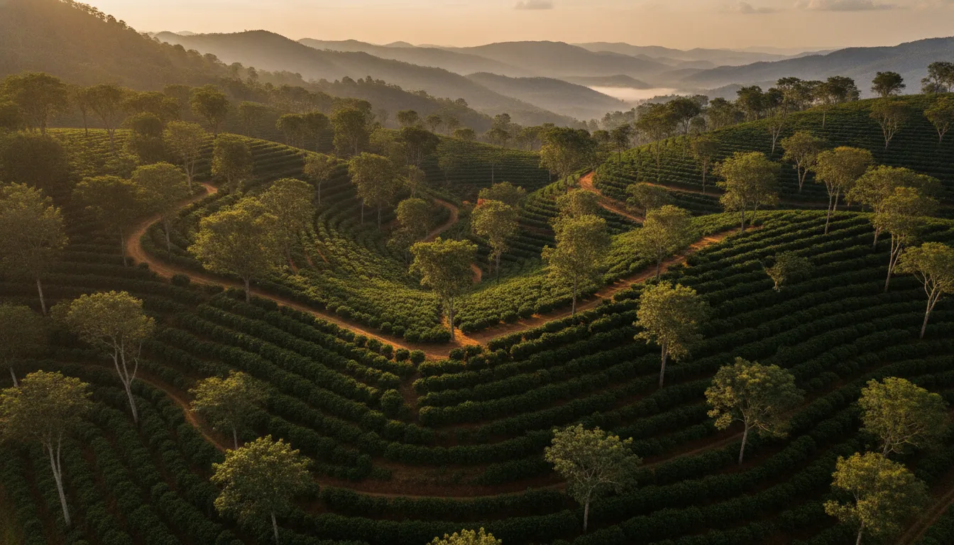
The direction a slope faces changes how much sun and heat the planting takes through the day. Gentle to moderate slopes under a good canopy of evergreen trees are preferred, and southern and western aspects are to be avoided at lower elevations, where the heat load on the plant is already higher.
This is the one driver you can check for free, on foot, in about ten minutes, and it appears on almost no listing and in almost no buying guide. Stand somewhere near the middle of the estate and work out which way the ground falls away from you. Note where the afternoon sun lands and how long it stays there. Note whether the steepest ground is planted or left open, because steep planted ground is harder to work and harder to hold together through heavy rain.
Aspect will never appear in the paperwork. It shows up instead in the condition of the plants on that face of the estate, which is the reason to walk more than one part of a property rather than the single block a seller chooses to walk you through. Two estates at the same elevation, in the same belt, on the same day, can present very differently once you have stood on both and worked out where the sun sits.
Once you know how the land sits, the next question is how much of it is actually working.
How much of the estate is actually planted, and how do I check that
Planted area is the part of the extent actually carrying coffee, and it is usually smaller than the total acreage. You can test a planted-area claim on paper before you travel, because the RTC records the extent, the nature of the land, the source of irrigation and the crops grown in the current season.
The RTC, or Pahani, is the Karnataka land record maintained by village accountants and updated each crop season. Its columns include the survey number, the total extent in acres and guntas, the hissa number where a survey has been subdivided, the recorded owner, the nature of possession, the source of irrigation, the classification of the land as dry, wet or garden, the crops grown, any liabilities, and remarks covering matters such as conversion status. The crops column is the one to read against the listing. A claim of planted coffee across most of the extent, sitting beside a record that says something else, is a question to settle before you spend a day driving.
The wider record set deserves more room than a section here can give it, and it has its own piece: which land records to ask for and what each one proves.
Open ground is not automatically waste. It can be land held back for future planting, space for drying, a firebreak, or ground that was never brought in because of the way it sits. That is optionality, and optionality carries a value of its own. What it is not is planted value, and a listing that quotes the total extent while describing all of it as an established coffee estate is asking you to read one thing as the other.
Where the planting does exist, its condition is the next thing to read, and the fastest read is above your head.
What do the shade trees tell me about how the estate has been looked after
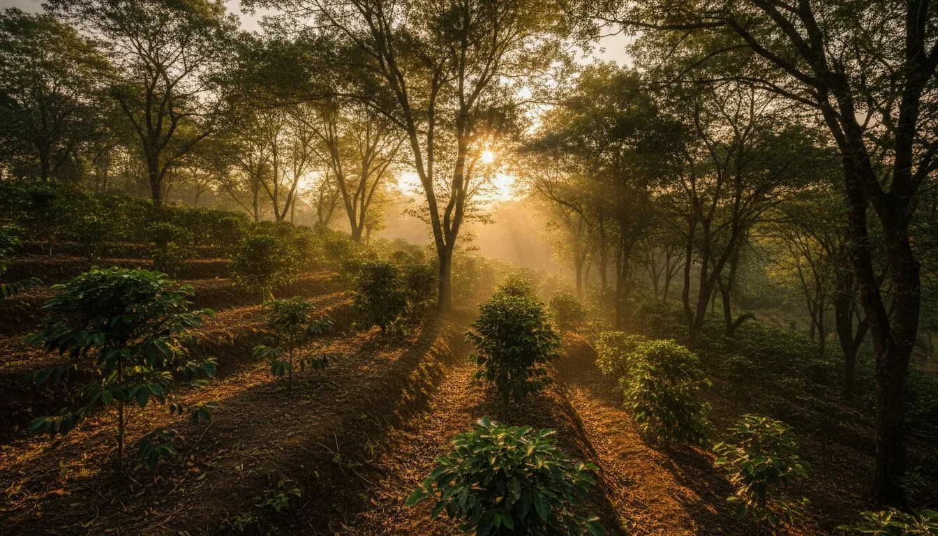
Shade trees tell you how many years of care or neglect sit behind an estate. Indian coffee grows under a well-defined two-tier mixed canopy of evergreen trees, so a canopy that is thin, gappy, or collapsed into one ragged layer is a maintenance signal you can read standing on the ground.
The Coffee Board of India describes Indian coffee as grown under a well-defined two-tier mixed canopy of evergreen leguminous trees, with nearly fifty different types of shade tree in use across the growing regions. Agricultural guidance puts the desirable pattern as selective retention of evergreen trees giving filtered shade at 9 to 12 m spacing. In the Hassan and Sakleshpur belt specifically, shade is maintained on almost every estate using a combination of silver oak and native forest trees.
That gives you a reference point instead of a vague sense of balance. Walk under the canopy and look up. Two distinct layers, reasonably evenly spread, with light filtering through rather than either full sun or full dark, is what maintained shade looks like. Wide gaps where trees have come down and nothing has replaced them, or a single overgrown layer with nothing beneath it, tells you the estate has been left to itself for a while.
Shade is slow to build and quick to lose, which is exactly why it reads as history rather than as a snapshot. It is also the driver most likely to have been quietly restored in the weeks before a sale, so look at the whole property rather than the approach.
Some of those same trees are being counted as an asset in the asking price, and that is where a great many estates get over-valued.
Is the standing timber on an estate really worth something
Standing timber is worth something only if it can lawfully be felled and moved, and that varies by species and by where the estate sits. A listing that counts rosewood, teak or silver oak as wealth is counting an asset the owner may not be free to convert.
On privately owned plantation land that is not notified forest, the Karnataka Preservation of Trees Act, 1976 applies, and Section 8 of that Act requires permission from the Forest Department before trees are felled. Those restrictions apply in notified areas only, recorded as nine districts, forty-seven talukas and sixty-five municipal areas, so the requirement does not sit on every piece of land in the state. The Act also exempts twenty-four specified species from the felling-permission requirement.
Felling is only half of the position. Moving forest produce into, from or within Karnataka requires a transit pass issued by the Forest Department under Chapter XVI of the Karnataka Forest Rules, 1969, and a later notification excluded forty-two tree species from transit permit requirements. Where land is notified private forest, a different Act governs it altogether: the Karnataka Forest Act, 1963, whose Section 37 requires a felling permit from the Deputy Conservator of Forests.
None of that means timber has no value. It means timber value is conditional, and the condition is legal rather than physical. Two estates carrying identical trees can hold very different timber positions depending on the species standing and on where the land falls against those notifications. A seller counting mature trees as part of what you are paying for is making a claim about permissions, whether or not the word permission is ever used.
This is not a position to settle from a blog, including this one. Ask which species are standing and in what numbers, then put that specific estate and those specific species in front of a lawyer who works on plantation land in that district, and get the answer confirmed in writing before any tree counts towards what the estate is worth to you.
Trees are the slow asset. Water is the one that changes with the season.
How do I judge the water source rather than just look at it
Judging a water source means separating three different things: water running the day you visit, water still running in March, and water that is recorded and lawfully usable. An estate can pass the first test comfortably and fail the other two.
Start with the mechanical checks that people who broker these estates for a living publish openly. Confirm the pump actually works rather than accepting that it does. Measure the real flow rate instead of taking a description of it. Establish whether the stream or pond is perennial or dries up completely by March. Ask what the estate runs on through the driest eight weeks of the year, and ask a neighbour the same question you asked the seller.
Then move to paper. The RTC records the source of irrigation, so a borewell or canal a seller describes should be traceable rather than merely visible. Groundwater in Karnataka is regulated: the Karnataka Ground Water (Regulation and Control of Development and Management) Act, 2011 requires a permit from the authority to drill or dig a well in a notified area under Section 11, and requires existing groundwater users in a notified area to apply for a certificate of registration within 120 days of the area being notified under Section 12.
The practical position for a buyer is short. Confirm the status of every existing well on the estate, and the position for any well you are planning, for that specific location, before you treat water as settled. A working borewell with an unclear regulatory status is not the same asset as a working borewell with a clear one, and the difference only surfaces when someone goes looking.
Water decides whether an estate works. Access decides whether you can reach it.
What counts as real access, and why does the last kilometre matter most
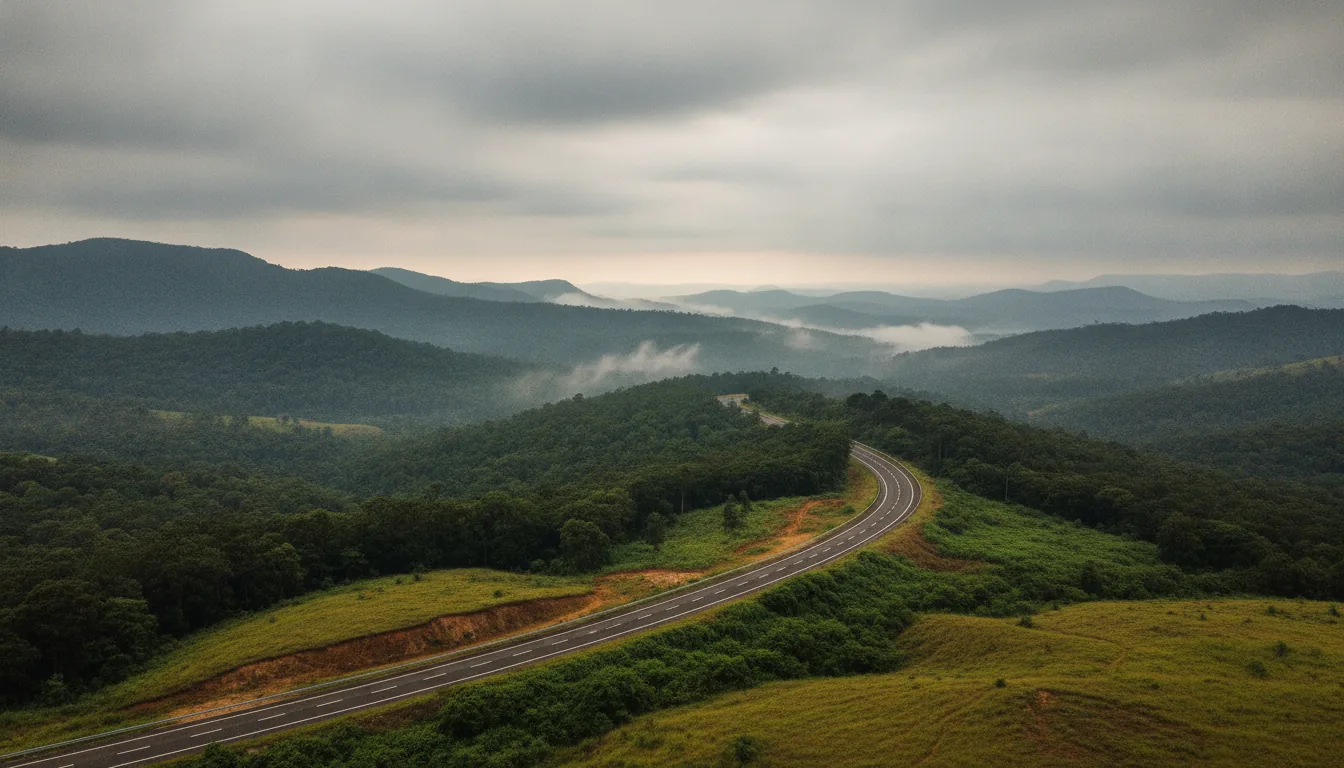
Real access is a road you can legally use, in every season, right up to the estate. The last stretch decides it. A steep, muddy approach track of roughly 500 m becomes a serious problem through the monsoon, whatever the highway behind it looks like.
The market already reads access, in its own rough way, through the distinctions people quote: tar road against mud road, the width of the road, and whether legal access rights exist at all. All-weather approach roads carry real weight in the Sakleshpur and Coorg belts, where the rain is both heavy and long.
Three questions do most of the work here. First, does the final approach hold when it has been raining for a week, and have you seen it in that state rather than in February? Second, does the access cross someone else’s land, and if it does, on what basis, because a neighbour’s tolerance is not a right and does not transfer with the sale. Third, how far does usable road go once you are inside the boundary, because internal roads, fencing, drying facilities, caretaker cottages and labour quarters are all part of what an estate is worth, and every one of them decays without upkeep.
Access is also where the boundary starts to matter, because the road you are shown and the land you are buying are not always the same shape.
How do I know the boundary on the ground is the boundary on the record
You find out by walking the entire perimeter with the survey sketch in hand and matching what you see against the extent recorded on the RTC. Corner stones, fence lines, footpaths in regular use and anything built close to the edge all have to agree with the paper.
A perimeter walk on its own proves very little. Walked against the sketch, it proves a great deal. Carry the survey number, the hissa number where the survey has been subdivided, and the extent in acres and guntas, and check them off as you go rather than afterwards from memory.
What you are looking for is disagreement. Corner stones missing or moved. A fence sitting inside or outside where the sketch puts it. A path across the estate that villagers use as a matter of long habit, which is worth knowing about before it becomes yours to discuss. A neighbour’s planting that has crept over a line nobody has walked in years.
None of this makes an estate unbuyable, and none of it is unusual. All of it changes what the estate is worth, because every discrepancy is something that has to be resolved by somebody, and if it is not resolved before the sale then it is resolved by you after it.
Boundary is where the ground and the paper first meet. Title is where the paper has to agree with itself.
What does a clean title look like, and what does a mismatch signal
A clean title is one where every record tells the same story: the same owner, the same extent, the same survey number across the RTC, the mutation extract, the encumbrance certificate and the survey sketch. A mismatch between any two of them is a value question, not a formality.
The verification set is consistent across every serious guide to buying in these belts: RTC or Pahani, mutation extract, encumbrance certificate, survey sketch, the flow of title through previous owners, conversion status, and whether a bank lien sits on the land. Each of those has a job, and the piece linked earlier on land records covers what each one proves.
What belongs here is the signal rather than the procedure. A liability recorded against the land, a lien nobody mentioned, an extent that does not match the sketch, or an owner’s name that was never carried through a mutation all mean the same thing to a buyer: the estate is not yet in a state where it can transfer cleanly, and someone has to spend time and money getting it there. That is a value driver in precisely the way a washed-out road is a value driver.
Several of the drivers on this page share that quality. They are not fixed properties of the land at all.
What changes when the estate is managed rather than left to itself
Several drivers on this list are maintenance outcomes rather than fixed properties of land. Roads, fencing, water infrastructure, shade condition and boundary upkeep hold their state only while somebody keeps working on them, and they degrade quietly through the years an estate sits between owners.
Sort the list one last time. Elevation, aspect, rainfall and soil are given. You inspect them, you accept them, and they read the same the day you sell as the day you bought. Everything else on this page is an outcome. Shade thins when trees are not replaced. Roads wash out in a single monsoon and stay washed out. Fencing comes down in sections nobody notices until an animal does. Pumps fail. Boundaries blur when nobody walks them. Records go stale when nobody updates them.
That is the honest reason a continuously worked estate and a neglected one of the same acreage, the same elevation and the same aspect are different assets. The difference is not sentiment. It is accumulated upkeep, and upkeep either happened or it did not.
Acres Community sells half-acre units of managed coffee estate, with half an acre as the minimum and larger parcels available. Each half-acre is a properly registered piece of land in the buyer’s own name, with its own land record. Managed, in this model, covers farming and crop care, security, roads, fencing and water, and a dedicated relationship manager for each owner. The live project is Euphora in Belur-Sakleshpura, and what a managed estate actually covers sets out the model in full.
That is a description of how a model works, not a claim that any estate scores highest on the drivers above. Those you check for yourself, on every property you look at, including this one.
What should I check, and in what order
Check in the order that costs you the least. Records and elevation first, from home. Aspect, planted extent, shade and timber on the first visit. Water, access and boundary on a second visit, in or just after rain. Legal confirmation last, before you commit.
The sequence below is a summary of this page, written to be carried to a site visit.
- Before you travel: pull the RTC and read the extent, the nature of the land, the source of irrigation and the crops recorded, against what the listing claims.
- Before you travel: place the estate’s elevation against the band for its region, and check whether the planting matches the land.
- First visit: work out which way the slope falls and where the afternoon sun sits, on more than one part of the property.
- First visit: read the shade canopy for its layers, its spacing and its gaps.
- First visit: ask which timber species are standing, and in what numbers.
- First visit: run the pump, watch the flow, and ask what happens in March.
- Second visit, in or after rain: drive the last kilometre and see the approach at its worst.
- Second visit: walk the full perimeter against the survey sketch, corner stone by corner stone.
- Before committing: put the timber position, the groundwater position and the full record set in front of a lawyer working on plantation land in that district.
- Throughout: separate what the land is from what has been done to it, and read the second group as upkeep that either happened or did not.
Frequently asked questions
How much does a coffee estate cost?
There is no single figure, because every driver on this page moves it: elevation, planted extent, shade condition, timber position, water, access, boundary and title. Two estates of the same acreage can sit far apart on all eight. Acres Community works case by case, so enquire for current pricing.
What is the price of a 1 acre coffee estate in Sakleshpur today?
Any single figure quoted for a location is an average taken across estates that are not comparable to each other. It describes the belt, not the estate you are standing on, and the drivers on this page are what separate one from the next. For Acres Community, enquire for current pricing.
How to buy a coffee estate?
Read the land first, then the paper, then have both confirmed. Establish elevation, aspect, planted extent, shade, timber, water, access and boundary on the ground. Verify the RTC, mutation extract, encumbrance certificate and survey sketch. Then have a lawyer working in that district confirm title, the timber position and the groundwater position before you commit.
Where can I buy land in Chikkamagaluru?
Chikmagalur is one of Karnataka’s main coffee districts, running roughly 700 to 1,200 m above mean sea level, and estates change hands across it. Acres Community’s live project sits in the Belur-Sakleshpur belt rather than in Chikmagalur. The drivers on this page apply the same way in either district.
Is a bigger estate automatically worth more?
No. Size and the drivers on this page move independently, so a smaller estate at the right elevation, with a perennial water source, all-weather access and records that agree can sit well above a larger one carrying none of those. How much land to own is a separate question from what makes land worth owning: choosing the right estate size for how you plan to use it.
Where to go next
You now have the order of checks and the reason each one sits where it does. The question that follows naturally is how much land you want to hold and how you intend to use it, which is where how much estate you should actually own picks up.
If you would like to talk through what Acres Community currently has available, enquire for current pricing and someone will walk you through it.