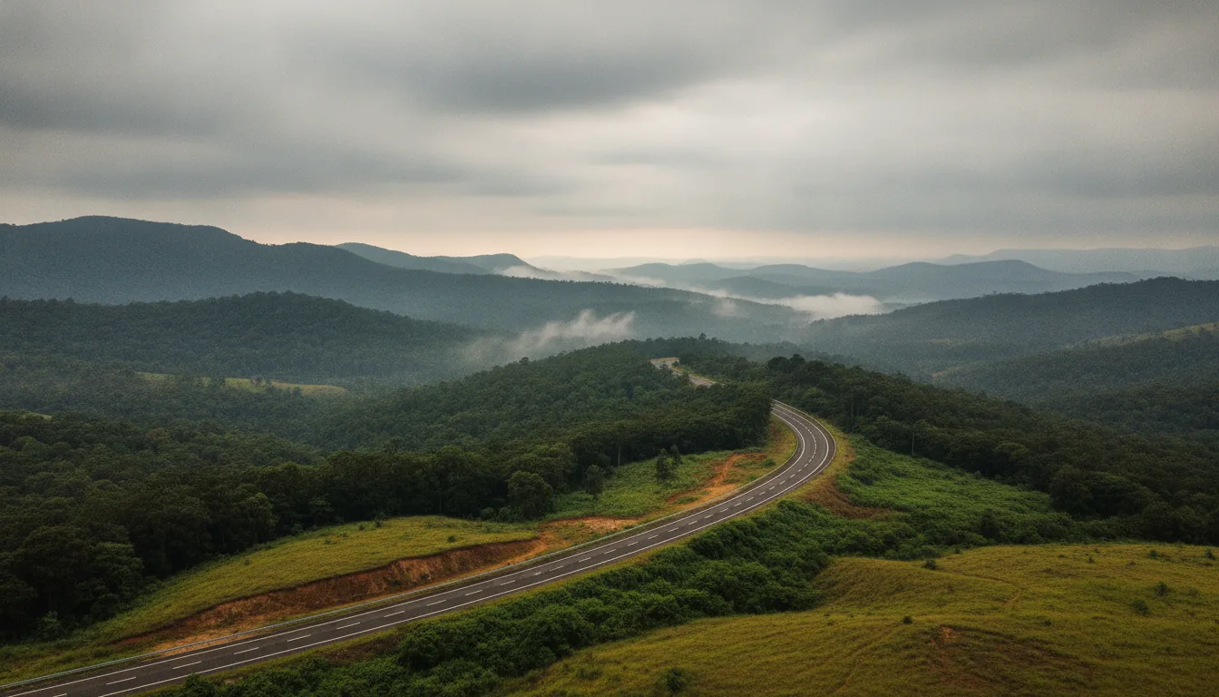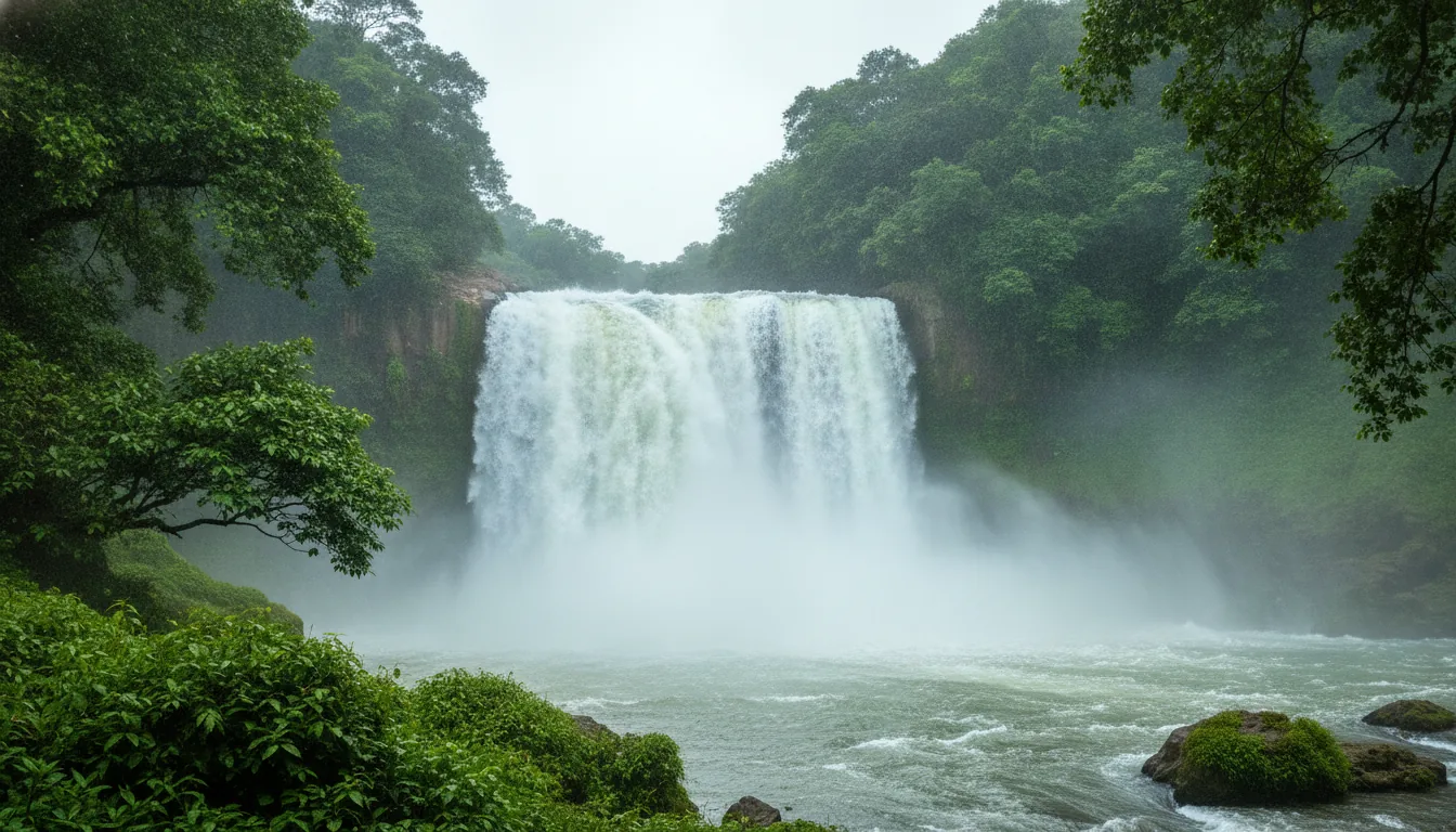
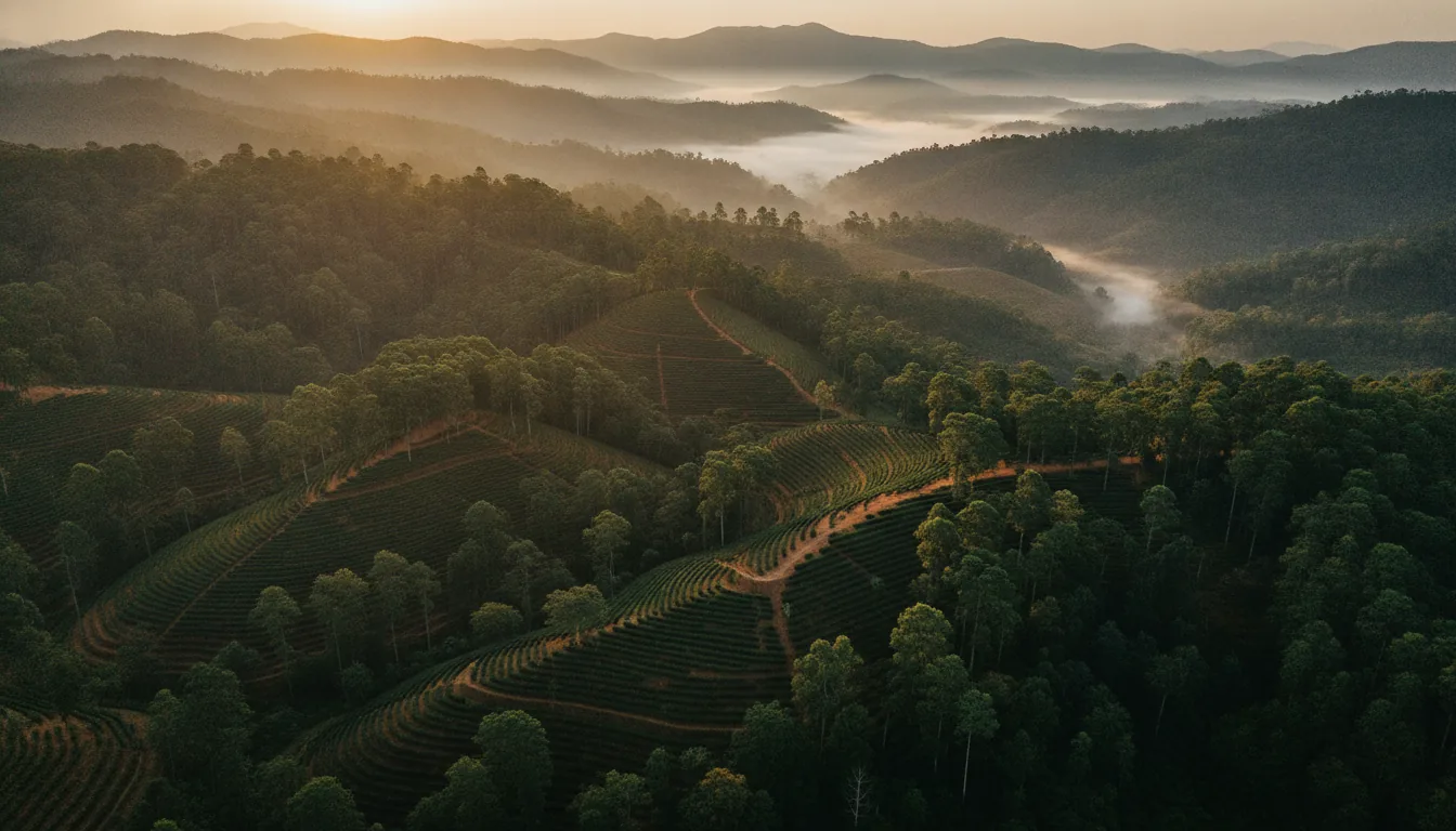
If you keep seeing “Malnad” on estate listings, menus or road-trip posts, you are meeting the name Karnataka gives its hill-and-rain country. Malnad, also written Malenadu, runs along the Western Ghats through some of the state’s rainiest districts. This guide explains what the word means, where the region starts and ends, and why it is Karnataka’s coffee country.
The short answer
Malnad, or Malenadu, is the hill-and-rain country along Karnataka’s Western Ghats, and its name is read as “land of hills” or “land of rain”. Officially, it is the area of the Malnad Area Development Board, which covers listed taluks in 13 districts. Its core is Chikkamagaluru, Kodagu, Shivamogga, Uttara Kannada and the Sakleshpur and Belur side of Hassan, where Karnataka’s main coffee regions lie.
In this guide
Malnad at a glance – the five core districts
| District | Malnad taluks (as MADB lists them) | Crops sources name | Coffee Board region it holds |
|---|---|---|---|
| Chikkamagaluru | Kadur, Koppa, Chikkamagaluru, Mudigere, Narasimharajapura, Sringeri, Tarikere, Ajjampura | Coffee, pepper, cardamom | Chikmagalur and Bababudangiris |
| Kodagu | Madikeri, Somavarpet, Virajpet | Coffee, pepper, cardamom | Coorg |
| Hassan | Alur, Arakalagud, Belur, Hassan, Sakaleshpur | Coffee, pepper, cardamom | Manjarabad, which shares its name with the fort outside Sakleshpur |
| Shivamogga | Bhadravati, Shivamogga, Sagar, Soraba, Hosanagara, Thirthahalli, Shikaripura | Areca, pepper, cardamom | None in the Coffee Board’s region list |
| Uttara Kannada | Ankola, Bhatkal, Haliyal, Honnavar, Karwar, Kumta, Mundgod, Siddapur, Sirsi, Joida, Yellapur, Dandeli | Areca | None in the Coffee Board’s region list |
MADB’s area also includes listed taluks of Belagavi, Chamarajanagar, Dakshina Kannada, Davanagere, Dharwad, Haveri, Mysuru and Udupi. Sources: Malnad Area Development Board (taluks), Coffee Board of India and Spices Board (coffee, pepper, cardamom), areca production data (areca).
What does “Malnad” mean
Malnad, or Malenadu, means “land of hills” or “land of rain”, depending on how the first part is read. Nadu means land, and male can be read as hill or as rain. Both fit Karnataka’s hill country on the Western Ghats.
The two readings come down to one sound. With a plain l, male is the word for hill or mountain, which gives “mountainous land”. With the retroflex ḷ, maḷe is the word for rain, which gives “rainy land”. The origin is not settled, so both readings are in use, and the country itself makes a case for each.
You will see the name written several ways, as Malnad, Malenadu and Malanadu. They all point to the same region.
The hills in question are the Western Ghats, which are also called the Sahyadri. In Karnataka, the Malnad is the stretch of the state that lies along them.
On an estate listing, the word works as shorthand for that setting, hill country with heavy monsoon rain, more than as a precise address. A name that describes hills and rain makes for a loose border, which is why the next question has two answers.
Which districts and taluks are Malnad
Officially, the districts and taluks of Malnad are those listed by the Malnad Area Development Board, which covers taluks in 13 Karnataka districts. In everyday use, people mean the hill core of Chikkamagaluru, Kodagu, Shivamogga, Uttara Kannada and Hassan’s Sakleshpur side.
What does the Malnad Area Development Board cover?
The Malnad Area Development Board covers listed taluks in 13 districts. It was set up under the Malnad Area Development Act, with the aim of the overall development of the Malnad through projects suited to its scattered settlements, sparse population, rugged terrain and dense forests.
Its 13 districts are Belagavi, Chamarajanagar, Chikkamagaluru, Dakshina Kannada, Davanagere, Dharwad, Hassan, Haveri, Kodagu, Mysuru, Shivamogga, Udupi and Uttara Kannada. Not every taluk in those districts is on the list. The five core districts appear in the table at the top of this guide, and the other eight are below.
The other eight MADB districts
| District | Taluks on MADB’s list |
|---|---|
| Belagavi | Bailahongal, Belagavi, Hukkeri, Khanapur, Saudatti |
| Chamarajanagar | Chamarajanagar, Gundlupet, Kollegal, Hanur |
| Dakshina Kannada | Mangaluru, Puttur, Sullia, Bantwal, Belthangady, Moodbidri, Kadaba |
| Davanagere | Channagiri, Honnali, Nyamathi |
| Dharwad | Dharwad, Kalaghatagi, Alnavar |
| Haveri | Hangal, Hirekerur, Ranebennur, Byadgi, Savanur, Shiggaon |
| Mysuru | Heggadadevankote, Hunsur, Piriyapatna, Sargur |
| Udupi | Udupi, Kundapura, Karkala, Brahmavar, Kapu, Byndoor, Hebri |
As published by the Malnad Area Development Board. Spellings as MADB writes them.
So, is Udupi Malnad? On the official map, yes. Seven Udupi taluks are on the list, from Udupi itself to Byndoor and Hebri.
Two cautions. The list is reproduced here as MADB publishes it, and taluks created more recently may not appear on it yet. MADB’s page also gives two different totals for the number of taluks, so this guide does not quote one.
Why do sources list different districts?
Sources list different districts because two maps are in use, an administrative one and a cultural one. They answer different questions.
Wikipedia gives the same 13 districts as MADB, but describes an initial core of six, namely Shivamogga, Chikkamagaluru, Uttara Kannada, Kodagu, Hassan and Belagavi. Karnataka Tourism says the region “consists of 13 districts, however the most relatable are the Shimoga, Hassan, and Chikamagalur”. Travel sites often name just four.
The administrative map decides where the Board’s development work goes. The cultural map is the one people carry in their heads, of steep forested hills, heavy rain, coffee and areca. Karnataka Tourism’s own phrasing captures the gap, with 13 districts on paper and a few that most people think of first.
If a listing calls land “Malnad”, the useful check is the taluk named on its land record. Match it against the tables in this guide, and you will know whether the land sits inside the Board’s official area or belongs to Malnad only in the looser, everyday sense.
Which Hassan taluks are Malnad?
Five Hassan taluks are on MADB’s list, namely Alur, Arakalagud, Belur, Hassan and Sakaleshpur. The district’s other taluks are not, which makes Hassan only partly Malnad. Sakleshpur, a town and taluk in Hassan district, is counted within the Malenadu region.
Which district and taluk a place sits in matters once land records come into it. For the coffee belts, this guide explains which district each coffee belt sits in.
That brings us to the three names people ask about most.
Is Chikmagalur, Coorg or Sakleshpur part of Malnad
Yes, Chikmagalur, Coorg and Sakleshpur are all part of Malnad. The Malnad Area Development Board lists eight Chikkamagaluru taluks, Kodagu’s Madikeri, Somavarpet and Virajpet taluks, and Hassan’s Sakaleshpur and Belur taluks. Together they hold Karnataka’s main coffee belts.
Being part of Malnad does not make a place the same as Malnad. Chikkamagaluru, for instance, is one district within a much larger region. Here is how each belt fits.
Is Chikmagalur Malnad?
Yes. Eight Chikkamagaluru taluks are on MADB’s list, including Chikkamagaluru, Mudigere, Koppa and Sringeri. The district holds two Coffee Board regions, Chikmagalur and the Bababudangiris, and Karnataka Tourism calls it the “Coffee land of Karnataka”. For the belt itself, read about Chikmagalur coffee estates, and for two of its smaller towns, Mudigere and Balehonnur. Village by village, start with Aldur, a coffee village west of Chikmagalur town.
Another Chikkamagaluru village, Kottigehara, has its own guide.
Is Coorg Malnad?
Yes. Coorg is Kodagu district, and the three Kodagu taluks on MADB’s list, Madikeri, Somavarpet and Virajpet, count as Malnad. Kodagu holds the Coffee Board’s Coorg region. Start with coffee estates in Coorg, then read about Coorg’s estate geography for how the district’s estate country is laid out.
For one Kodagu town up close, see Somwarpet.
Kushalnagar has its own guide as well.
Is Sakleshpur Malnad?
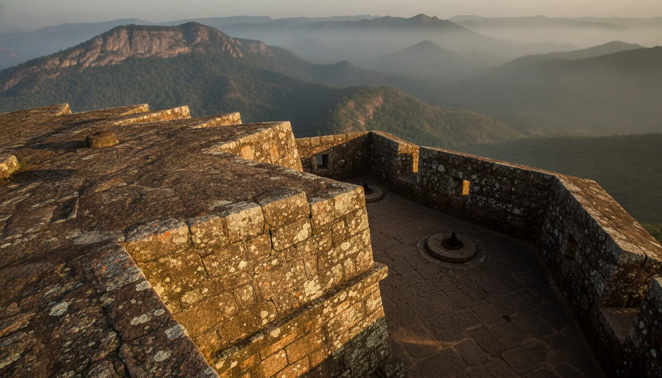
Yes. Sakleshpur is a town and taluk in Hassan district, and Sakaleshpur taluk, as MADB spells it, is on the Malnad list along with Belur. The Coffee Board’s Manjarabad region shares its name with Manjarabad Fort on the outskirts of Sakleshpur. For estates in the belt, see coffee estates in Sakleshpur.
Village by village, start with Hanbal.
Yeslur and Belagodu have a guide of their own.
What about Shimoga?
Shimoga, or Shivamogga, counts too. Seven Shivamogga taluks are on MADB’s list, including Thirthahalli, Hosanagara, Sagar and Soraba. The district is not one of the Coffee Board’s coffee regions, and the crops sources name for it are areca, pepper and cardamom.
If you are visiting rather than buying, start with places to visit in Sakleshpur.
For the wider district, see Hassan district’s places.
In Chikkamagaluru, see places to visit in Chikmagalur.
In Kodagu, see places to visit in Coorg.
For a side-by-side view of the belts, read how the three coffee belts differ.
What ties these belts together is the weather, and the Malnad’s weather starts with the hills.
Why does Malnad get so much rain
Malnad gets so much rain because the Western Ghats stand in the path of the southwest monsoon. Moist Arabian Sea winds are forced up the hills and drop heavy rain on the windward slopes, while the eastern plateau is far drier.
This is orographic rain. The windward, western face of the Ghats takes the heaviest falls, and the land behind the crest sits in a rain shadow, so the Deccan Plateau receives much less. Much of the Malnad lies on and just behind that wet face, which helps explain why rainfall can change so sharply within a single district.
The hills themselves are high. Mullayanagiri in Chikkamagaluru district, Karnataka’s highest peak, rises to over 1,900 m, and the Malnad’s ranges hold forests, grasslands and the sources of several rivers.
How much rain falls across the Malnad?
Rain across the Malnad ranges from about 1,000 mm a year on its drier edges to as much as 4,500 mm in the wettest parts of the Coffee Board’s Chikmagalur region. The spread inside a single coffee region is the clearest sign of how quickly it changes.
The Coffee Board puts its Chikmagalur region at 1,000 to 4,500 mm a year. The Coorg and Manjarabad regions each range from 1,000 to 2,500 mm, and the Bababudangiris from 1,750 to 2,200 mm. Across Chikkamagaluru district as a whole, the average is about 1,925 mm a year.
The width of those ranges is the point. Rain falls away fast as the hills give way to the plateau in the east, so places that sit close together on a map can live with very different monsoons.
Is Agumbe the wettest place in Karnataka?
Not every year. Talk of Agumbe rainfall usually starts with its old title, the “Cherrapunji of the South”. Agumbe sits in Shivamogga district’s Thirthahalli taluk, and it earned that name long ago.
In recent monsoons, though, rain gauges run by the Karnataka State Natural Disaster Monitoring Centre (KSNDMC) have recorded more rain at places such as Hulikal and Nadpal in some seasons. Rainfall shifts from year to year, so any figure you see quoted for Agumbe should come with its year and its source.
Which rivers rise in the Malnad?
The Tunga, Bhadra, Netravathi, Hemavathi, Sharavathi and Kaveri all rise in the Malnad’s hills.
| River | Where it rises | District |
|---|---|---|
| Tunga | Gangamoola, also called Varaha Parvata, in Kudremukh National Park | Chikkamagaluru |
| Bhadra | Gangamoola | Chikkamagaluru |
| Netravathi | Gangamoola | Chikkamagaluru |
| Hemavathi | Javali village, at about 1,230 m | Chikkamagaluru (Mudigere taluk) |
| Sharavathi | Ambuthirtha | Shivamogga |
| Kaveri | Talakaveri, also spelled Talacauvery, on the Brahmagiri hills near Bhagamandala, at about 1,276 m | Kodagu |
Gangamoola is the most striking of these sources. A single hill within the boundaries of Kudremukh National Park, in Chikkamagaluru district, gives rise to three rivers, the Tunga, the Bhadra and the Netravathi. The Hemavathi starts in the same district, in Mudigere taluk, then flows through Hassan district, where it is joined by the Yagachi, and on into Mandya before meeting the Kaveri near Krishnarajasagara. Talakaveri, in Kodagu, is generally considered the Kaveri’s own source. Rain that falls on the Malnad’s slopes ends up feeding rivers far beyond it.
What forests grow in the Malnad?
Karnataka Tourism describes most of the Malnad region as covered with forest, and Kudremukh National Park shows the range. Its lower slopes, at about 600 to 1,200 m, hold primary evergreen forest. Higher up, from about 1,200 m in the north of the park to 1,800 m in the south, shola forests grow in the valleys, ringed by grassland, with grass on the hilltops.
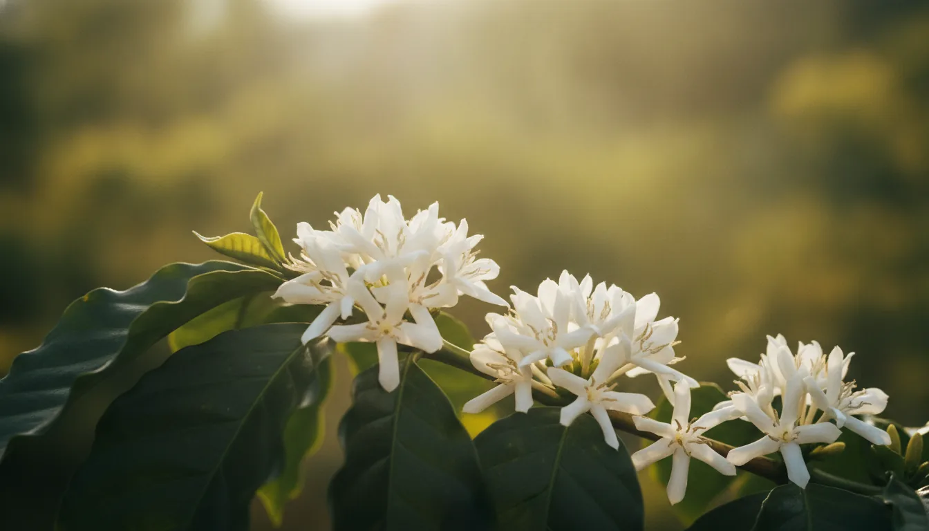
The same rain cycle sets the coffee year. The first showers after the dry months bring the estates into flower, the moment covered in coffee blossom season.
Rain, shade and altitude decide what can grow here, and the answer is mostly plantation crops.
What grows in Malnad
Coffee, pepper, cardamom and areca grow in Malnad. Coffee is grown under shade in Chikkamagaluru, Kodagu and Hassan. Pepper and cardamom grow across the Western Ghats districts, and areca is grown extensively in Shivamogga and Uttara Kannada.
Where does the Malnad’s coffee grow?
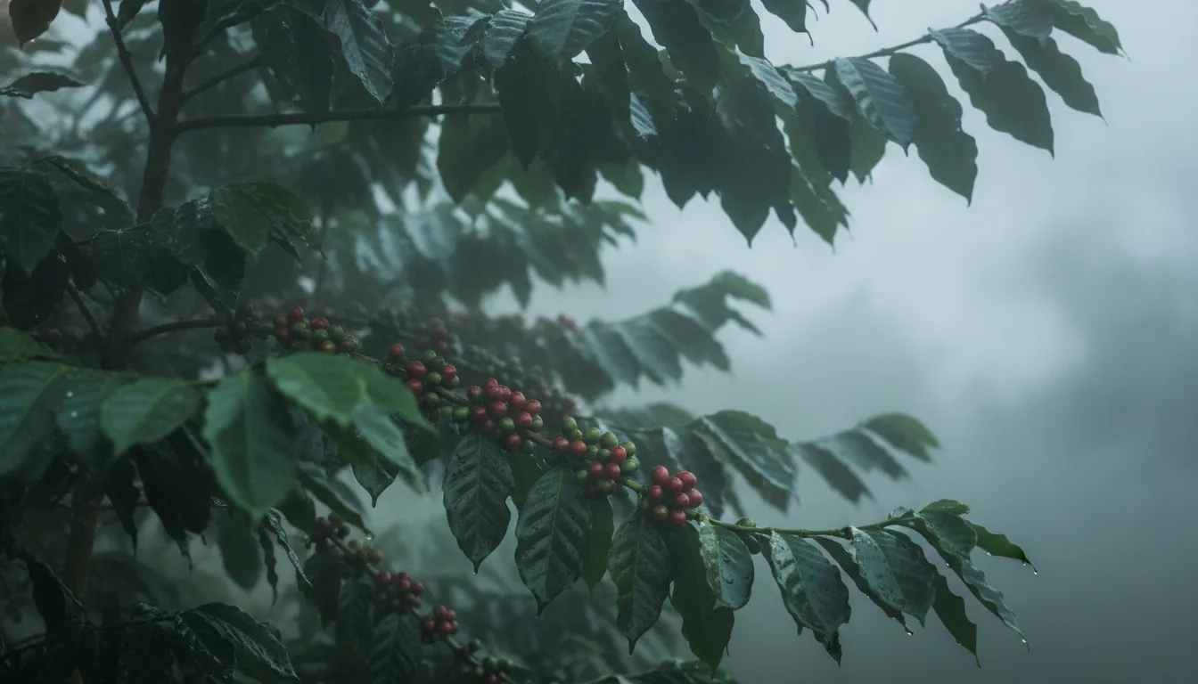
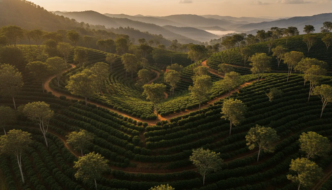
The Malnad’s coffee grows in Chikkamagaluru, Kodagu and Hassan. By the Coffee Board’s account, India is the only country that grows all of its coffee under shade, and here that means coffee beneath a canopy of taller trees rather than in open sun. The mix of arabica and robusta shifts from one region to the next, set out region by region in the last section of this guide.
Where do pepper and cardamom grow?
Pepper and cardamom grow mainly in the Western Ghats region of Coorg, Hassan, Chikmagalur, Shimoga and the North Karnataka districts, according to the Spices Board. On a working estate, crops like these can be managed alongside coffee as one system, which is the subject of coffee, pepper and timber grown together.
Where does areca grow?
Areca grows extensively in Shivamogga and Uttara Kannada, and Karnataka is India’s largest producer of the nut. Both districts sit inside the Malnad, yet neither appears in the Coffee Board’s list of coffee regions.
Crops shaped the work of the Malnad, and the rain shaped its kitchens and houses.
What are Malnad food and houses like
Malnad food is known for spicy curries and gravies, with dishes such as akki rotti, kadubu and koli saaru. Malnad houses traditionally include the thotti mane, a home built around a courtyard, with steep roofs and deep eaves to shed rain.
Akki rotti is a rice flatbread, and kadubu and koli saaru sit alongside it in the region’s cooking. Coorg adds pandi curry, a pork curry, to the list.
The thotti mane, literally “the house with a courtyard”, is traditionally built with its rooms opening onto a central courtyard, using timber from the Ghats. In country whose name can be read as “land of rain”, the roof does the hard work, steep and deep-eaved to carry the monsoon clear of the walls.
The region speaks Kannada, along with regional languages such as Havyaka Kannada, Kodava, Tulu, Konkani and Arebhashe.
Food and houses give the Malnad its everyday character. Its coffee gives it a place on the map of Indian coffee.
Which Malnad belts grow coffee
The Malnad belts that grow coffee are the Coffee Board’s Bababudangiris and Chikmagalur regions in Chikkamagaluru, Coorg in Kodagu, and Manjarabad on Hassan’s Sakleshpur side. A fifth Karnataka region, the Biligiris, lies on the Karnataka and Tamil Nadu border.
Karnataka’s Coffee Board coffee regions
| Coffee Board region | Where | Elevation | Rain a year | Coffee grown |
|---|---|---|---|---|
| Bababudangiris | Chikkamagaluru district | 1,000 to 1,500 m | 1,750 to 2,200 mm | Arabica only |
| Chikmagalur | Chikkamagaluru district | 700 to 1,200 m | 1,000 to 4,500 mm | More arabica than robusta |
| Coorg | Kodagu district | 750 to 1,100 m | 1,000 to 2,500 mm | Mostly robusta, roughly two to one |
| Manjarabad | Hassan district, Sakleshpur side | 900 to 1,100 m | 1,000 to 2,500 mm | Mostly arabica, roughly three to one |
| Biligiris | Karnataka and Tamil Nadu border | 1,500 to 2,000 m | 1,100 to 1,200 mm | Arabica only |
Bababudangiris: This Chikkamagaluru region sits highest of the four core belts and grows arabica only. Its rainfall band is one of the narrowest on the Coffee Board’s list.
Chikmagalur: The district’s wider coffee region has the widest rainfall range on the list, so estates within it can sit in very different rain. It grows both species, with more land under arabica than robusta.
Coorg: Kodagu’s region is the one Karnataka region where robusta leads, outnumbering arabica roughly two to one.
Manjarabad: On Hassan’s Sakleshpur side, this region shares its name with Manjarabad Fort outside Sakleshpur. It sits in a narrow band of height and grows mostly arabica, by roughly three to one.
Biligiris: On the Karnataka and Tamil Nadu border, the Biligiris sit highest of all five regions yet get the least rain, and grow arabica only.
Each belt’s estate guides and village guides are linked in the section on Chikmagalur, Coorg and Sakleshpur above. In the Belur-Sakleshpur belt, Acres Community’s live managed coffee estate is Euphora, covered at the end of this guide.
The belts differ in height, rain and the coffee they favour. They do not rank against each other, and none of them is more truly Malnad than another.
For anyone drawn to this country for more than a visit, the next question is whether you can own a piece of it.
Frequently asked questions
Does Hassan belong to Malnad?
Partly. The Malnad Area Development Board lists five Hassan taluks, Alur, Arakalagud, Belur, Hassan and Sakaleshpur, and the district’s other taluks are not on its list. Sakleshpur and Belur sit within that listed area, and the Coffee Board’s Manjarabad region shares its name with the fort outside Sakleshpur.
Is Uttara Kannada Malnad?
Yes. The Malnad Area Development Board lists twelve Uttara Kannada taluks, from Sirsi, Siddapur and Yellapur to Joida, Karwar and Dandeli, as part of its area. Areca is grown extensively in the district, though Uttara Kannada does not appear in the Coffee Board’s list of coffee regions.
Why is Shimoga called Malenadu?
Shimoga, or Shivamogga, is counted as Malenadu because seven of its taluks fall within the Malnad Area Development Board’s area. They include Thirthahalli, home to Agumbe, long known as the “Cherrapunji of the South”, and the Sharavathi river rises at Ambuthirtha in the same district.
What is Malnad famous for?
Malnad is famous for heavy monsoon rain and forested hills, for the rivers that rise there, including the Kaveri, Tunga and Bhadra, and for its plantations of coffee, areca, pepper and cardamom. Its food, from akki rotti to koli saaru, and its courtyard houses, the thotti mane, complete the picture.
Which is the famous food in Malnad?
The dishes most associated with Malnad are akki rotti, kadubu and koli saaru, with pandi curry from Coorg. The cooking leans on spicy curries and gravies, and Karnataka Tourism describes the region as having a very distinctive cuisine of its own.
Your own half-acre of managed coffee estate in the Malnad
The Malnad is where Karnataka’s coffee grows, under shade, on hills that catch the monsoon. Owning a piece of that country is possible today, as land registered in your own name rather than a place you pass through.
While the world visits, you belong.
Acres Community’s live estate is Euphora in the Belur-Sakleshpur belt, sold as a half-acre of managed coffee estate. Each half-acre is registered in its owner’s own name with its own land record, half an acre is the minimum, and larger parcels are available. The estate grows coffee, pepper and timber, and the estate team handles farming and crop care, security, roads, fencing and water, with a dedicated relationship manager for every owner.
To see why that belt suits coffee, read why Belur-Sakleshpur is classic coffee country. To learn about Euphora or enquire for current pricing, talk to Acres Community.