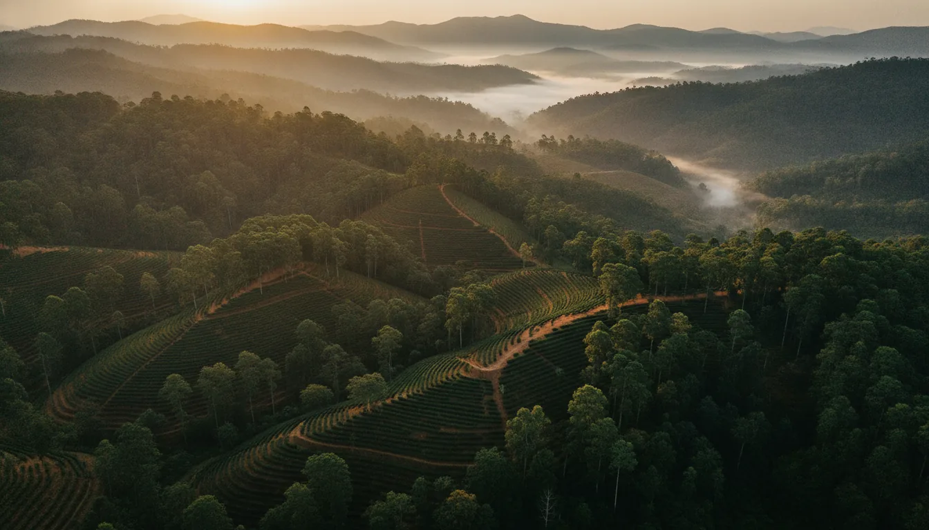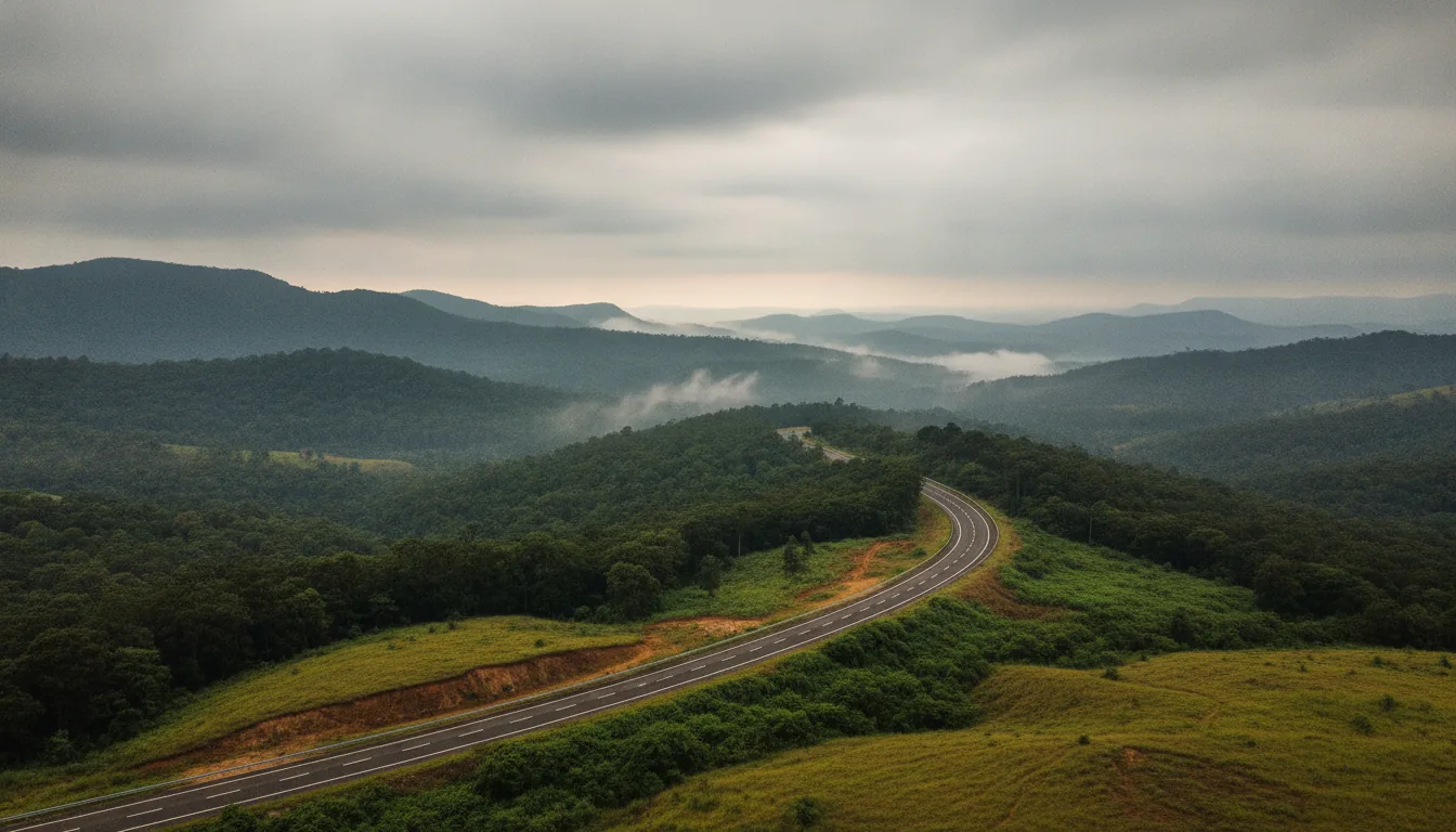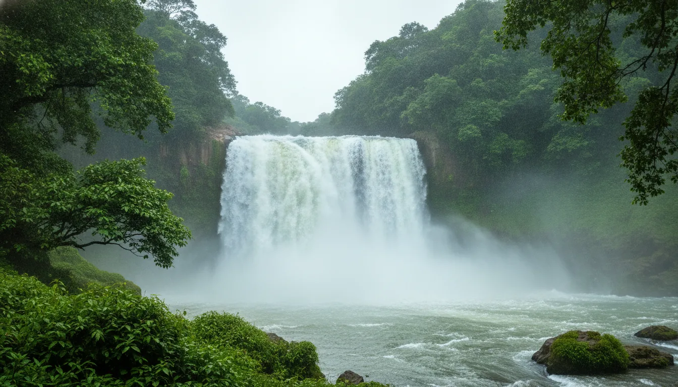
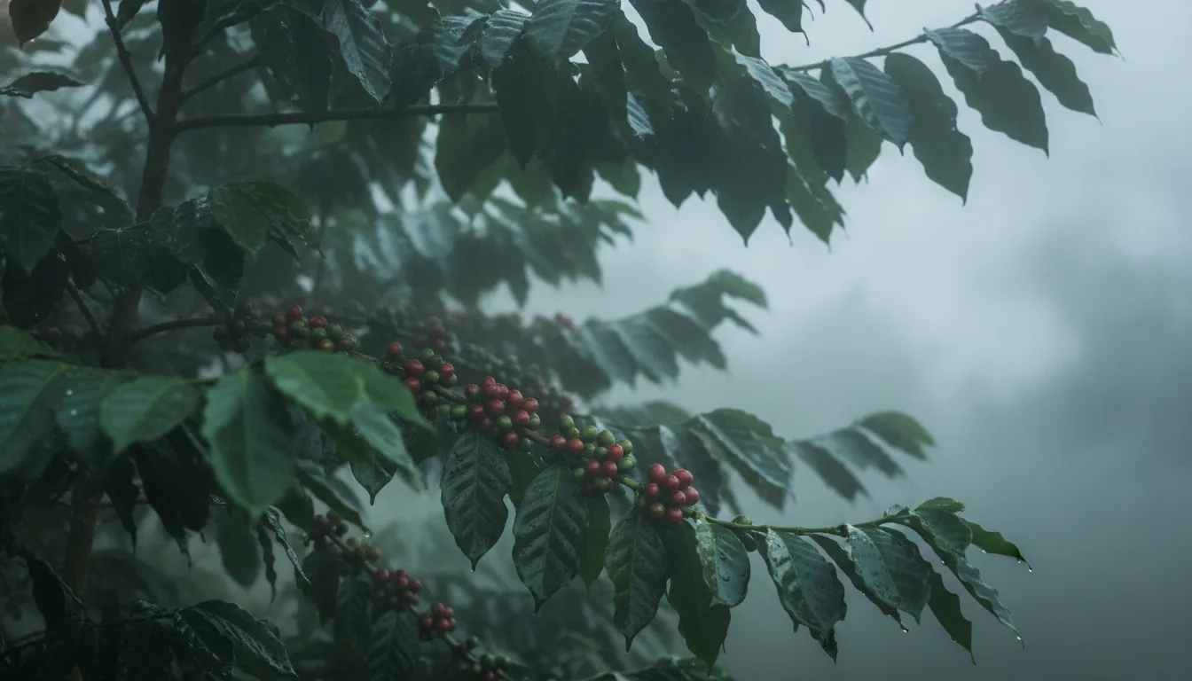
If the name Aldur has turned up on an estate listing or a map pin, you probably want to know what kind of place it is before going any further. Aldur is a coffee village in Chikkamagaluru district, set in the hills west of Chikmagalur town. Here is where it sits, what grows around it, how to reach it and where its land records are kept.
The short answer
Aldur is a village with its own gram panchayat in Chikkamagaluru taluk, Chikkamagaluru district, Karnataka. It lies about 19 km by road west of Chikmagalur town, in the coffee-growing Malnad hill country of the Western Ghats. Its PIN code is 577111.
In this guide
Where is Aldur
Aldur is a village in Chikkamagaluru taluk of Chikkamagaluru district, Karnataka, in the Malnad hill country of the Western Ghats. It sits about 19 km by road west of Chikmagalur town and about 16 km from Mudigere, the neighbouring taluk town.
On a map, Aldur sits at roughly 13.25° N and 75.66° E. The hills of Chikkamagaluru district are part of the Western Ghats, and Aldur sits among them. Kannada is the language of daily life.
Chikkamagaluru taluk is one of the taluks covered by the Malnad Area Development Board, which places Aldur inside Karnataka’s Malnad region, the hill country along the Western Ghats. Its nearest neighbouring villages include Doddamagaravalli, Kuduvalli, Kelagooru, Kundur and Vasthare.
If you are weighing the coffee belts against each other, here is how Chikmagalur compares with Sakleshpur and Coorg.
On listings and records, the word next to Aldur is often taluk, hobli or panchayat, and those words do not mean the same thing.
Is Aldur a village, a hobli or a taluk
Aldur is a village with its own gram panchayat, not a taluk. It comes under Chikkamagaluru taluk, which is run from Chikmagalur town. The last census counted roughly 3,600 people living in the village.
Listings use these three words loosely, so here is what each one means.
- Taluk: A sub-division of a district, with its own revenue office. Aldur’s taluk is Chikkamagaluru, which counted 213 villages and one town, Chikmagalur itself, at the last census.
- Hobli: A cluster of villages inside a taluk, used for revenue work. A village’s hobli is shown on the land record for every piece of land in it.
- Gram panchayat: The elected local council for one or more villages. Aldur has its own, and the nearby village of Chikkamagaravalli is listed under it.
The RTC for any piece of land in Aldur shows its hobli, and the taluk office in Chikmagalur town can confirm it.
The taluk matters more once land is involved, because it decides which offices keep the records. This guide explains which district and taluk an estate sits in.
Status settled, the more telling question is what the village is known for.
What is Aldur known for
Aldur is known for coffee. It is a village set among coffee estates, and one of the places where an official rain gauge tracks the showers coffee depends on, from the blossom rains to the monsoon.
Rain here is measured because coffee depends on it. A telemetric rain gauge run by the Karnataka State Natural Disaster Monitoring Centre (KSNDMC) stands in the grounds of Aldur’s Inspection Bungalow. Aldur is also a named zone, with Elekhan as a sub-zone, in the Agriculture Insurance Company of India’s rainfall insurance scheme for coffee.
That scheme follows the rains a coffee grower watches through the year, from the blossom and backing showers to the monsoon and the post-monsoon showers.
Aldur also sits in the district where coffee came to India. Coffee still forms the major part of farming in Chikkamagaluru, and the longer story is told in Chikmagalur’s coffee heritage.
Part of that history is on display at the coffee museum in Chikmagalur.
Coffee is the headline. Which coffee, and grown how, is the next question.
What grows around Aldur
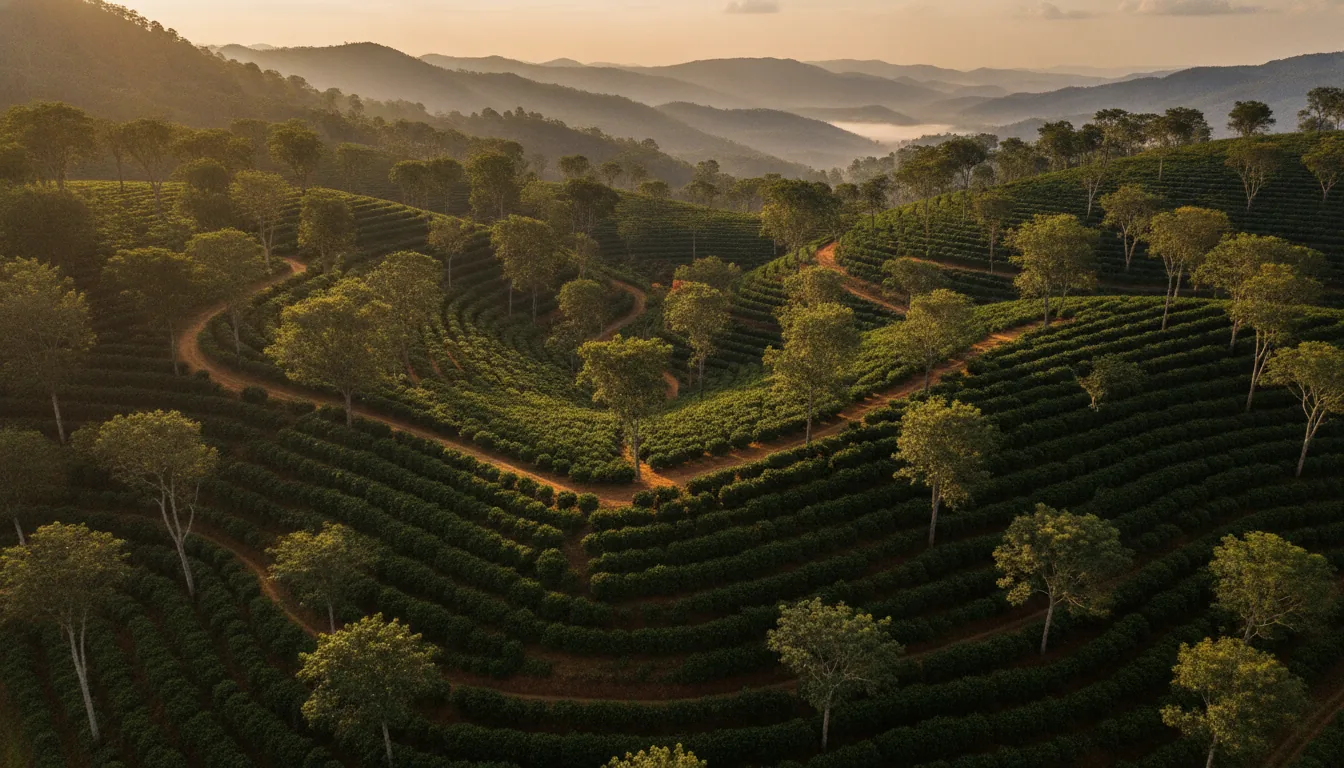
Coffee grows around Aldur, under shade. The Coffee Board’s Chikmagalur region grows both arabica and robusta at roughly 700 to 1,200 m, with more land under arabica than robusta. The exact crop mix around Aldur varies from estate to estate.
Aldur’s height, roughly 900 to 1,050 m, falls inside that band. Higher up in the same district, the Coffee Board’s Bababudangiris region, at 1,000 to 1,500 m, grows arabica only.
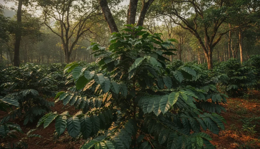
Shade is the other constant. By the Coffee Board’s account, India is the only country that grows all of its coffee under shade, so coffee here grows beneath taller trees rather than in open sun.
Listings around Aldur may call the same land an estate, a plantation or farmland. Those words are not interchangeable, and this guide to estate, plantation or farmland sets out the difference.
What lets coffee grow here at all is the height of the land and the rain it gets.
How high is Aldur, and how much rain does it get
Aldur sits roughly 900 to 1,050 m above sea level, depending on the source. It gets the heavy rain typical of Chikkamagaluru district, which averages about 1,925 mm a year, and a rain gauge in the village records it locally.
One village directory gives 906 m and map data gives 1,048 m, so a range is more honest than a single figure.
Rain varies even more than height. The Coffee Board puts rainfall across its Chikmagalur coffee region anywhere between 1,000 and 4,500 mm a year, which shows how much it changes from one part of the hills to another. Readings for Aldur itself come from the KSNDMC gauge in the village.
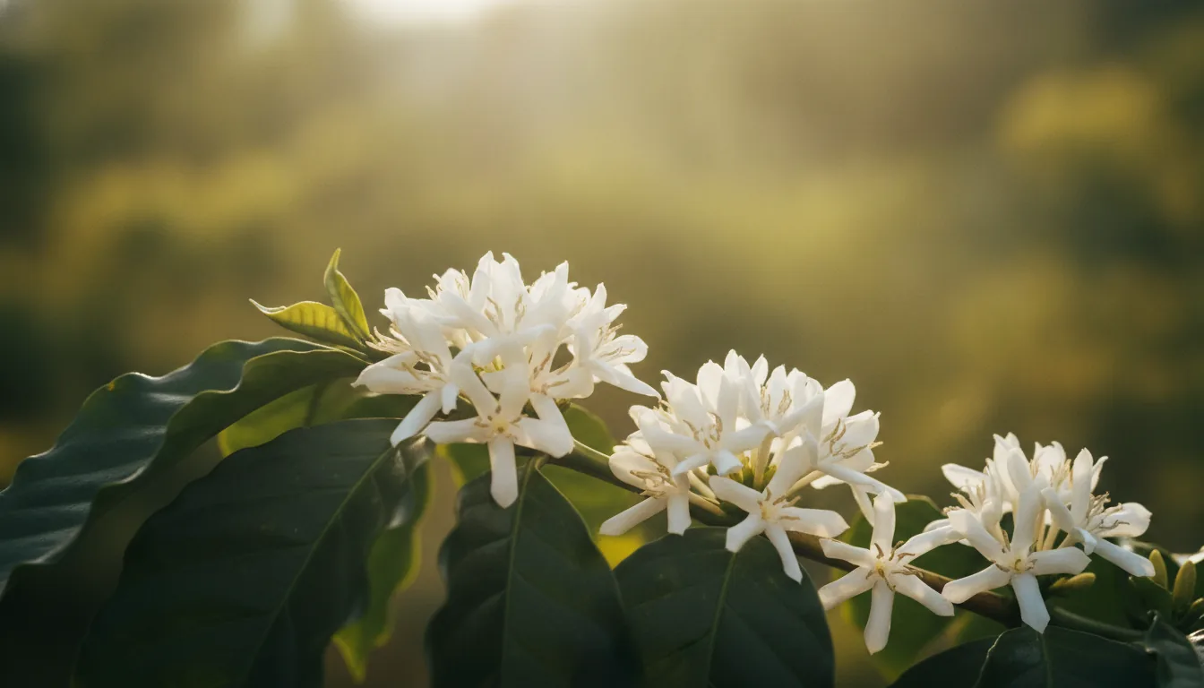
Aldur weather follows the coffee year. The main rains arrive with the southwest monsoon, drier months follow, and the first pre-monsoon showers after them set off the bloom across the estates. That moment has a page of its own, on coffee blossom season.
For the pattern month by month, see Chikmagalur weather month by month.
The same hills that catch the rain shape the roads into Aldur.
How do you get to Aldur, and how far is it
You get to Aldur by road. It is about 19 km from Chikmagalur town, about 16 km from Mudigere and about 270 km from Bengaluru. The nearest railway station is at Chikmagalur town, and Mangaluru has the nearest international airport.
Road distances from Aldur
| From Aldur to | Approximate road distance |
|---|---|
| Chikmagalur town | About 19 km |
| Mudigere | About 16 km |
| Balehonnur | About 32 km |
| Bengaluru | About 270 km |
Measured by road on a map from Aldur to each town centre, then rounded. Routes change, so check a live map before you travel.
Village directories quote different figures for the same trip, anywhere from 14 to 19 km to Chikmagalur town, so treat any single number you see on a listing as a rough guide.
From Bengaluru, most of the drive is the run to Chikmagalur town, then about 19 km more into the hills to Aldur.
The city leg is covered in Bangalore to Chikmagalur distance and route.
Chikmagalur town’s railway station sits on the line from Kadur Junction. Services are limited, so check the current timetable before planning around a train.
Mudigere lies south of Aldur, and Balehonnur, on the Bhadra, lies to the northwest. Both towns have their own guide, Mudigere and Balehonnur.
Once you are in Aldur, a handful of well-known places sit within reach.
What is near Aldur
The places most often named near Aldur are Hirekolale lake, a reservoir about 10 km from Chikmagalur town with views of the Mullayanagiri range, and the upland village of Mallandur. The Yagachi is the nearest river.
Hirekolale lake: A man-made reservoir that supplies irrigation and drinking water, about 10 km from Chikmagalur town, with the Mullayanagiri hills in view.
Mullayanagiri: At 1,926 m, Mullayanagiri is the highest point in Chikkamagaluru district, and its range fills the skyline from Hirekolale lake.
Mallandur: A village in Chikkamagaluru district at about 1,243 m, noticeably higher than Aldur.
The Yagachi and the Bhadra: The Yagachi rises in the Baba Budan hills near Chikmagalur town and flows south through Belur taluk, past the Yagachi dam at Belur, to join the Hemavati near Gorur. The Bhadra runs further away, past Balehonnur, about 32 km by road from Aldur.
For the wider list, see places to visit in Chikmagalur.
Kottigehara, another village in the district, has a guide of its own.
Day to day, what counts in any village is what it has on hand.
What services does Aldur have
Aldur has everyday services, including a primary health centre, a police station, a government high school and PU college, a bank branch and a post office, PIN 577111. Larger hospitals and offices are in Chikmagalur town.
| Service | In Aldur |
|---|---|
| Health | Primary Health Centre, Aldur |
| Policing | Aldur Police Station |
| Education | Government High School Aldur and Government PU College Aldur |
| Banking | Bank of Baroda, Aldur branch |
| Post and phone | Aldur post office, PIN 577111, STD code 08262 |
From village directories. Confirm a service before you rely on it.
For anything beyond these, from specialist care to government departments, Chikmagalur town is about 19 km away by road.
Services cover daily life. Land runs through a different set of offices.
Which offices handle land records for Aldur
Land records for Aldur are handled by the Chikkamagaluru taluk revenue offices. The RTC, or pahani, can be viewed online through Karnataka’s Bhoomi land-records service, and a sale is registered at the sub-registrar office with jurisdiction over the village.
The RTC, short for Record of Rights, Tenancy and Crops, names the holder of a piece of land, its survey number and the crops on it, along with the district, taluk, hobli and village it belongs to. For land in Aldur, that taluk is Chikkamagaluru, and the taluk decides which revenue office keeps the record.
Confirm which sub-registrar office covers Aldur before any transaction, and have a lawyer and a licensed surveyor check the records and the boundaries on the ground.
What each document proves is set out in the land records behind an estate. For the wider picture, from paperwork to who looks after the land, read what owning a coffee estate involves.
Records are one side of owning land in coffee country. The other is who looks after it while you are away.
Frequently asked questions
Is Aldur a taluk?
No. Aldur is a village and gram panchayat in Chikkamagaluru taluk, Chikkamagaluru district, Karnataka. The taluk is run from Chikmagalur town, about 19 km away by road. Listings sometimes use the word taluk loosely, but in the census and on land records, Aldur is a village.
What does the word “Aldur” mean?
In Icelandic and Faroese, aldur is a noun meaning age, which is why that meaning comes up in search results. The village in Karnataka shares only the spelling. The origin of its name is not recorded in any of the sources we checked.
What are some places to visit near Aldur?
Three names come up most. Hirekolale lake is a reservoir about 10 km from Chikmagalur town with views of the Mullayanagiri range. Mullayanagiri itself, at 1,926 m, is the highest point in Chikkamagaluru district. Mallandur is an upland village at about 1,243 m.
Which river flows near Aldur?
The Yagachi is the nearest river to Aldur. It rises in the Baba Budan hills near Chikmagalur town and flows south to the Yagachi dam at Belur. The Bhadra runs further away, past Balehonnur, about 32 km by road from Aldur.
What is the PIN code of Aldur?
Aldur’s PIN code is 577111, served by the post office in the village. The same PIN covers nearby localities such as Doddamagaravalli and Chikkamagaravalli, so include the village name on any address. For landlines in the area, the STD code is 08262.
Coffee country you can own
Shade-grown coffee, a rain gauge that logs every shower, and land recorded piece by piece in the taluk’s records. That is the coffee country many people picture when they think of owning a part of Chikmagalur.
While the world visits, you belong.
The estate we offer today sits in a different belt. It is Euphora, our live managed estate in the Belur-Sakleshpur belt, sold as a half-acre of managed coffee estate, each one registered in its owner’s own name with its own land record. Half an acre is the minimum and larger parcels are available. The estate grows coffee, pepper and timber, and the estate team handles farming and crop care, security, roads, fencing and water, with a dedicated relationship manager for every owner.
To read more about the district, start with coffee estates in Chikmagalur. If Chikmagalur is where you see yourself, register your interest with us. To learn about Euphora or enquire for current pricing, talk to Acres Community–